Books & Literature
Flags of the World, Past and Present
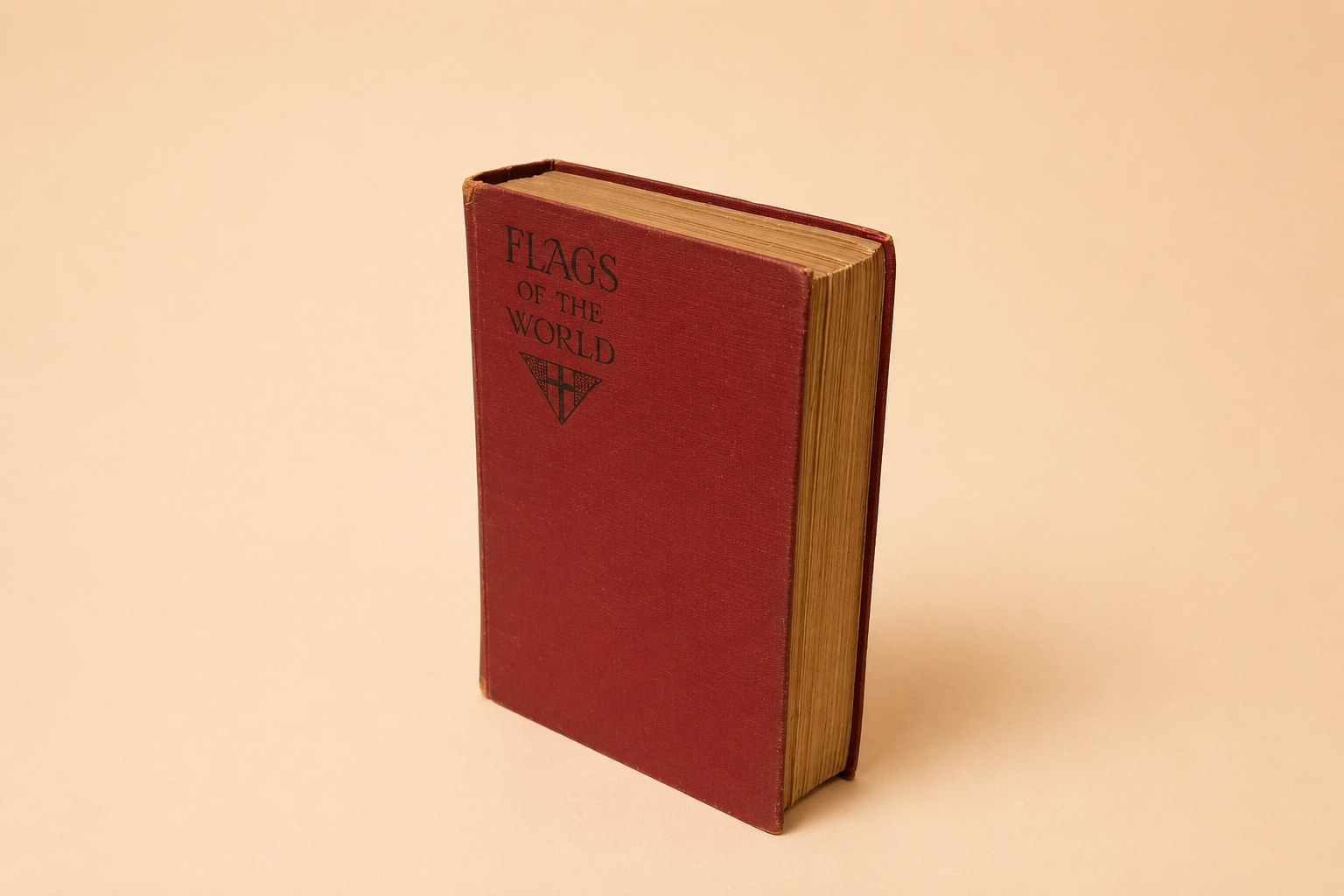
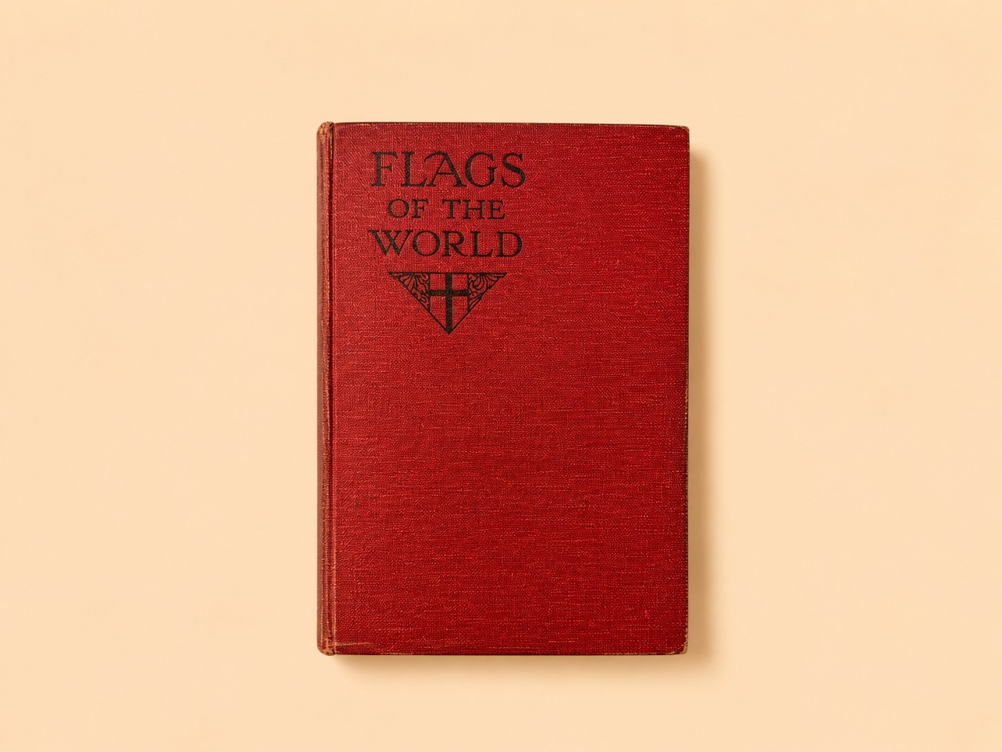
Frederick Warne's richly illustrated flag book in its 1928 revised-supplement printing — the world's banners just after Versailles redrew the map — signed by an owner in 1929.
A Private Archive of Antiques & Historical Objects
Books & Literature
Frederick Warne's richly illustrated flag book in its 1928 revised-supplement printing — the world's banners just after Versailles redrew the map — signed by an owner in 1929.
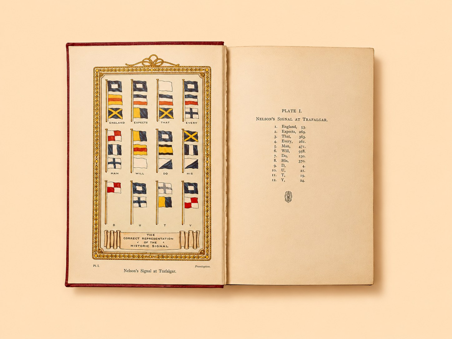
Open the front cover and the first thing you meet is Nelson, in flags: a colour plate of the England Expects That Every Man Will Do His Duty signal, spelled out hoist by hoist as it flew at Trafalgar. It is the perfect overture to this book, because Flags of the World is really about how nations and navies have learned to speak in cloth — and this particular copy froze that conversation at a very specific moment: 1928, with the map of Europe freshly redrawn and the British Empire near its greatest reach.
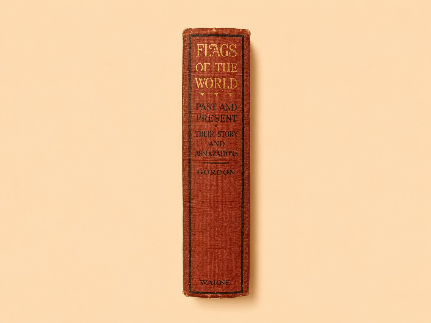
The title page reads Flags of the World, Past and Present: Their Story and Associations, by W. J. Gordon… with over 500 illustrations by W. J. Stokoe, published by Frederick Warne & Co. of London and New York, With Supplement. It is a fat red cloth-bound volume, blind- and gilt-stamped, running to colour plates of ensigns, royal standards, military colours, signal flags and colonial badges, interleaved with hundreds of text figures. The printing history inside dates this copy precisely: the book was first issued in 1915 and went through several supplements, and this is the “Reprinted with Revised Supplement, 1928” state — the last and fullest of the interwar issues.
W. J. Gordon was a prolific late-Victorian and Edwardian writer of popular non-fiction — the sea, the railways, natural history — and his title page advertises him as author of The Way of the World at Sea. His Flags of the World did not start from nothing: it openly supersedes the earlier book of the same name by F. Edward Hulme (1841–1909), the artist and naturalist whose 1897 volume Gordon acknowledges in his preface as having “dealt very ably and fully with the antiquarian side of the subject.” Gordon's contribution was to bring it up to date for a new century, with Stokoe's carefully measured illustrations drawn, he stresses, “in accordance with the official measurements” — a small but real claim to accuracy in a field full of guesswork. The line continued: by 1933 the book had been folded into A Manual of Flags.
What makes the 1928 issue interesting is when it freezes the world. Gordon's preface notes that the edition “includes a Supplement… containing all the changes necessitated by the Treaty of Versailles,” and the plates bear that out: alongside the old powers sit the flags of the nations the 1919 settlement called into being or redrew — Czecho-Slovakia, Esthonia, Latvia, Lithuania, Poland, the Free City of Danzig, Memel, the Irish Free State, Hedjaz and Iraq. The supplement even reaches 1928 itself: Plate XXXVI shows the national flag of the Union of South Africa, adopted that very year. At the same time the book is a monument to the British Empire near its zenith, cataloguing the badges of colony after colony — from Ceylon and Hong Kong to the Falklands and St Helena — a roll-call that would be largely dismantled within four decades.
Its other great theme is the sea. Long stretches are given to the international code of signals, Royal Navy signalling, pilot flags, yacht-club burgees and the house flags of the great British shipping lines (Cunard, White Star, P&O, Blue Funnel). For a reader in 1928, this was a working reference to a world still run by ships and the flags they flew.
The volume is in good, honest condition for a heavily used reference book a century old: the red cloth rubbed and a little frayed at the spine ends, the text-block toned and foxed in places, but sound and complete, with the colour frontispiece bright. Its personal marks are a pleasure: an ink signature on the flyleaf, “Ernest E. Ausden, March 1929” — a buyer who acquired the book within months of this printing — and a faint pencilled notation, probably a bookseller's price, on the front pastedown. Neither owner has been traced.
It is a time-capsule of the world's symbols at a hinge moment: the brief interwar order after Versailles and before the next collapse, with the Empire still spread across the plates and the new states of Europe freshly added in. It belongs naturally on the collection's Navigation shelf — a companion, in flags, to the Taprobana map's cartography of the world — and the 1929 owner's signature gives the abstraction a single, datable human hand. A common book, but a precise and evocative witness to its year.
Provenance
Frederick Warne & Co., London & New York. Dated by its printing history to the 'Reprinted with Revised Supplement, 1928' issue (the revised Supplement incorporating the post-WWI changes 'necessitated by the Treaty of Versailles'). Ink ownership signature on the flyleaf: 'Ernest E. Ausden, March 1929' (unidentified); an indistinct pencil notation (possibly a bookseller's price) on the front pastedown. The work superseded F. Edward Hulme's 'Flags of the World' (Warne, 1897). One of a group of 27 books acquired together in February 2026 (same lot as the Bridges and Coghill volumes); acquisition cost in the Ledger.
England South
Forty years of sketch-books opened in the year England needed them most: the first volume of Sydney R. Jones's illustrated journey through the southern counties, from London to the very end of Cornwall (1948).
England West
The trilogy's longest journey: Thames to Hadrian's Wall through Cotswold wool churches, Shakespeare country, the Marches, and the industrial North. The richest of the three volumes in architectural range (1950).

England East
The farewell volume: Jones closes his life's work with a journey from the Thames to the Scottish border, saluting Durham coalminers alongside Northumbrian castles, under an epigraph about ashes and graves (1954).